Moel Llyfnant
| Location | SH80873499 (Area map showing location.) |
|---|---|
| Parish | Llanycil |
| Owners | |
| Production and Employment | |
| Transport | |
| Remains | Level for 13 m north to lode, which extends for 8 m to east with some enlargement. Possible excavation on line of lode above level. Filled-in shaft. Tip. Possible shelter remains at SH80913501. Two ruined structures (the larger one possibly being a dressing platform and smithy) at SH80733494 with traces of track (built-up in places) from level to these structures. Two small possible trial pits ~100 m to north-west of level and ~20 m higher. (Februrary 2007) |
Wilkinson [2003] has a reference to National Library of Wales – Henry Robertson of Pale – Evan Jones Report.
Morris [2003] describes this site but gives a location of SH80803486.
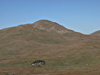 |
Moel Llyfnant General view of Moel Llyfnant from the south. The level is just below and to the right of the highest point (see enlargement). The buildings are below the skyline of the first shoulder to the left of the summit. |
|
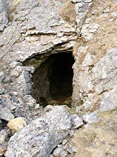 |
Entrance to level Level at SH80873499 |
|
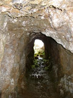 |
Level View looking out of level to daylight from the lode. |
|
 |
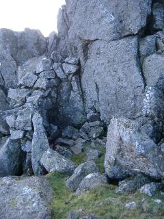
Excavation on line of lode Looking down into excavation on line of lode. |
|
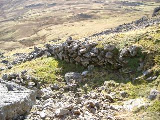 |
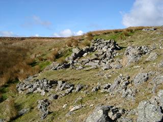
Walling near level The purpsoe of this walling is unlcear but it appears to be associated with the mine site. |
|
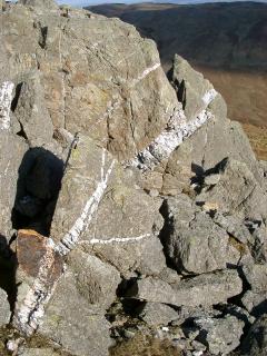 |
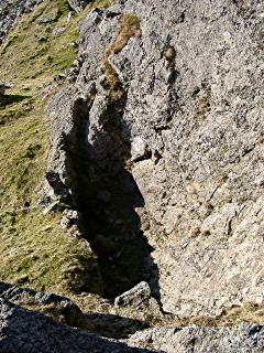
Quartz vein View eastwards of prominent quartz vein aligned with lode. |
|
 |
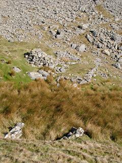
Shelter Possible shelter remains at SH80913501. |
|
 |
Building remains Possible dressing platform and smithy and (nearer camera) a smaller structure built into the hillside at SH80733494. The track from the level descends across the scree visible at the top of the picture. |
|
 |
Building remains Another view of the possible dressing platform and smithy. The raised platform is possibly the remains of a smithy hearth. |